Hvalfjörður is a wonderful fjord in Iceland located only 35 km north of Reykjavík.
Among other legends there is a tale that a whale was put under a spell by a priest (or an elf) and turned into a peninsula in the fjord. That's one version why it is called "Hvalfjörður" what means "Whalefjord".
The fjord is 30 km long, 5 km wide at its widest point and 84 m deep at its deepest point. In the back it is surrounded by steep mountains.
In the 14th, 15th and 17th centuries the fjord was an important trading and fishing centre. During World War II naval convoys were assembled there for leaving towards the North and Barents Sea. You can only see a few remains of the british and american military bases. Today the only industrial settlement is "Grundartangi" on the north shore of the fjord directly on the ring road.
Hvalfjörður is only sparsely populated and is ideal for hiking by the sea, on mountains like Botnssúlur or to waterfalls like Glymur.
We are friends from Germany and years ago we've discovered the majestic landscape of Hvalfjörður. Staying there offers nature's entire spectrum from bright sunlight to strong blizzards or magical northern lights. Nevertheless, the nearest shops and facilities are only 20 minutes away by car in Akranes or 25 minutes away in Mosfellsbær.
"hvalfjordur.is" is a joint project of Dominik with his beautiful cottages and our website "huh.is" with Iceland traveling and photography since the year 2000 including the charity initiative "SHOP & HELP".
Please do not hesitate to contact us, if you want to experience Iceland! (See imprint for contact.)
We advice you regarding accommodation, individual planning incl. flight or ferry recommendations and even tours with local guides personally tailored for you!
Best regards, Jörg and Dominik
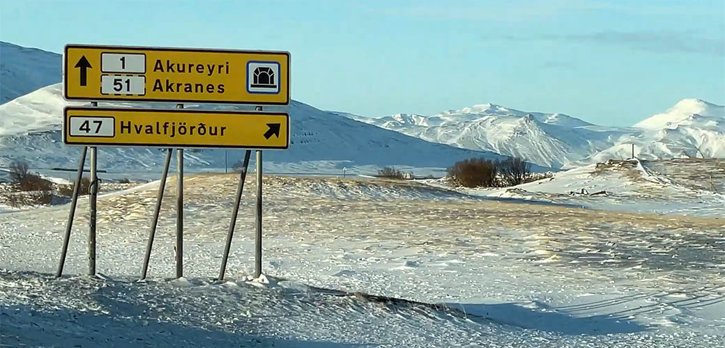
Junction from ring road to Hvalfjarðarvegur
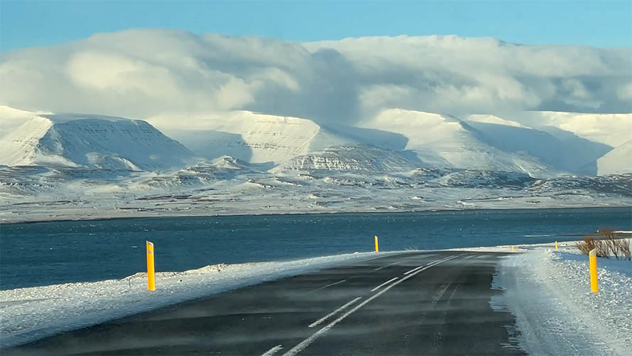
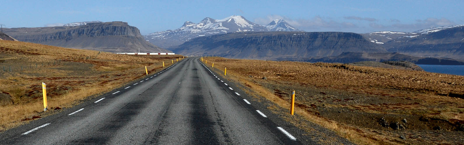
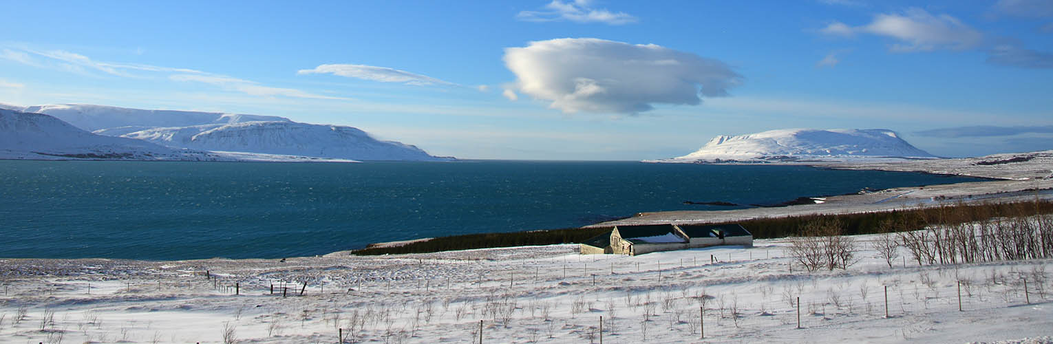
View from Hvalfjarðarvegur to the mountains at the northern shore
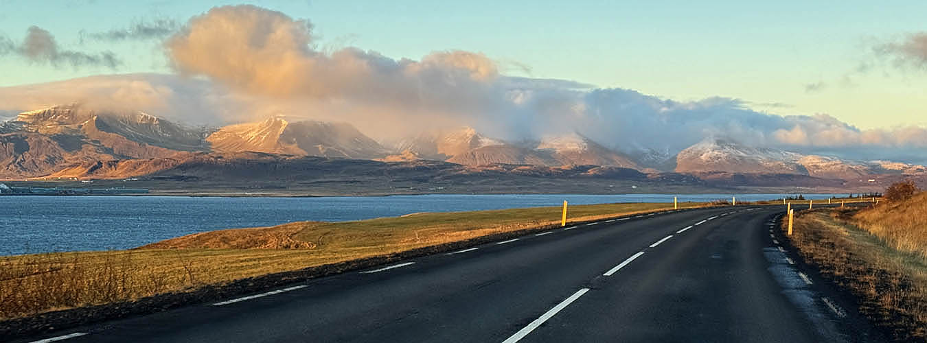
Almost same view in late October
Dominik's Villa Künstlerblick and Villa Fjordblick in the first row with an indescribable view over the fjord
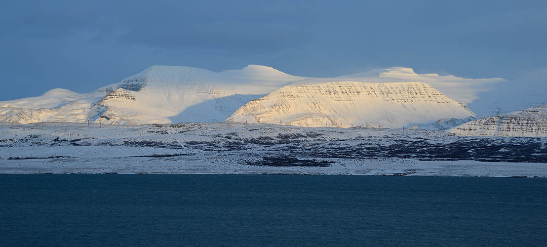
View from Villa Fjordblick across the fjord during winter time
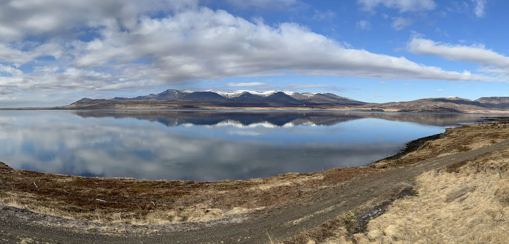
View from Villa Fjordblick in spring
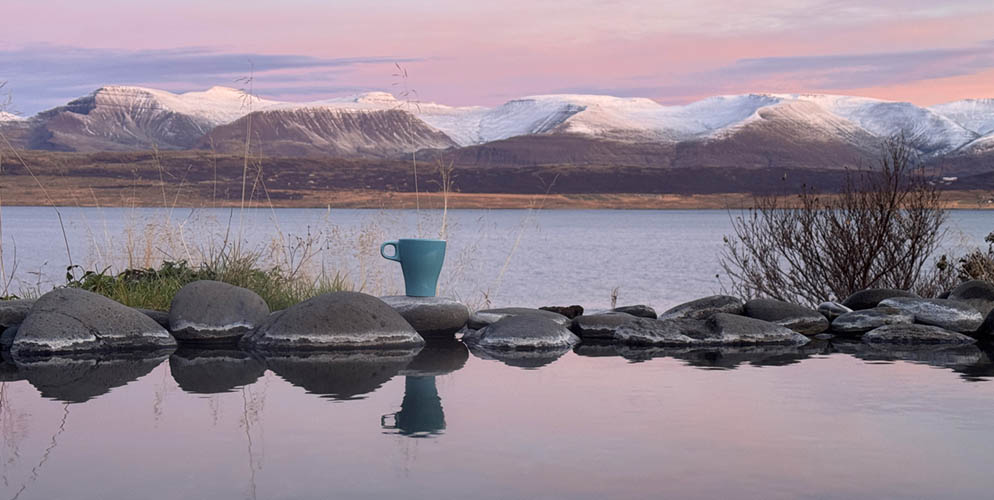
Morning coffee at Villa Fjordblick's pool in October
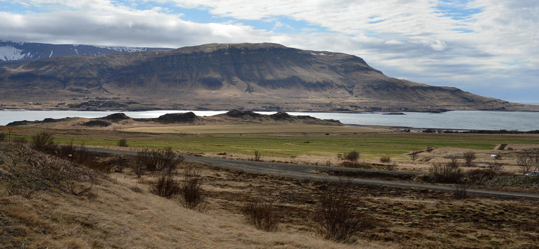
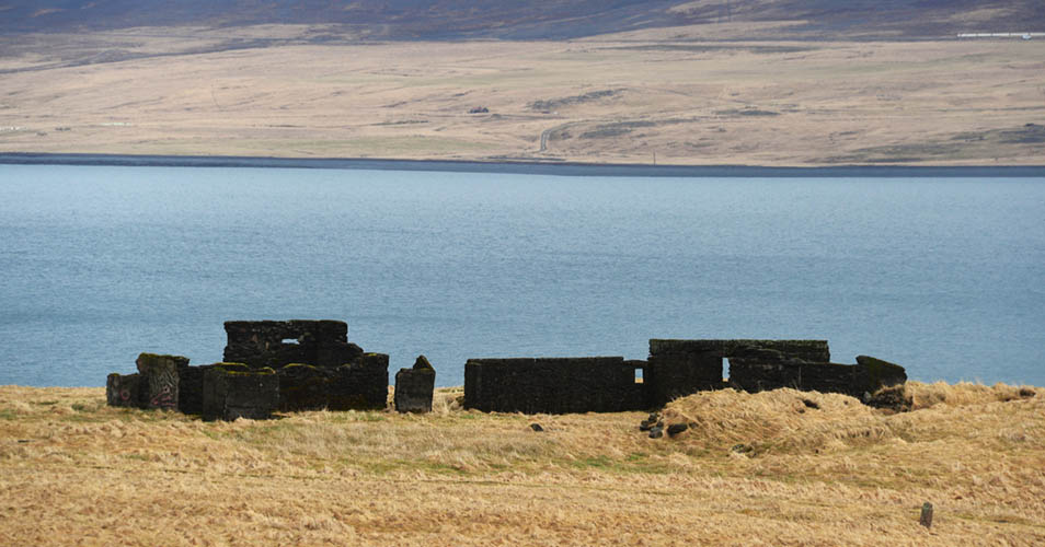
Maríuhöfn á Hálsnesi (behind the four dark hills) is considered as one of Iceland's first ports
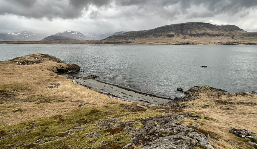
Maríuhöfn bay (Hvalfjörður) was the country's largest marketplace up to the 15th century
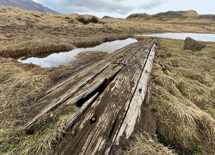
Remains of an old wooden boat in the moor near Maríuhöfn
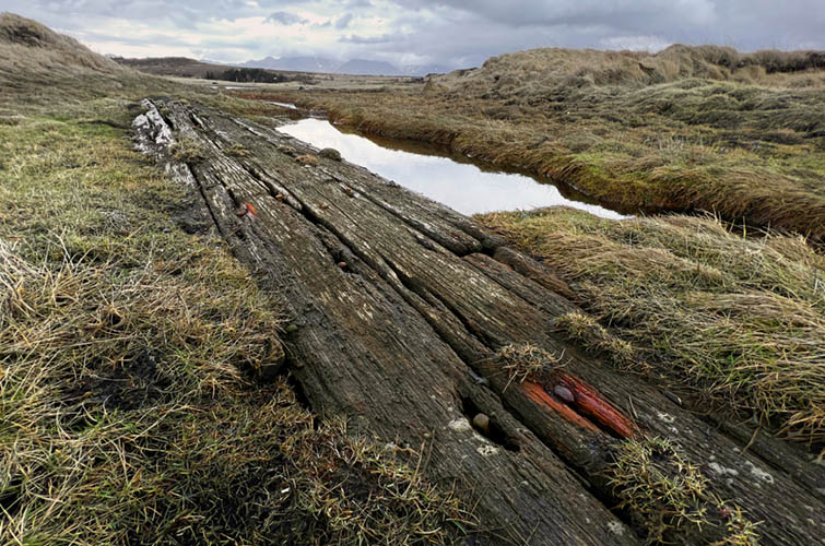
Forged nails are still stuck in the hull
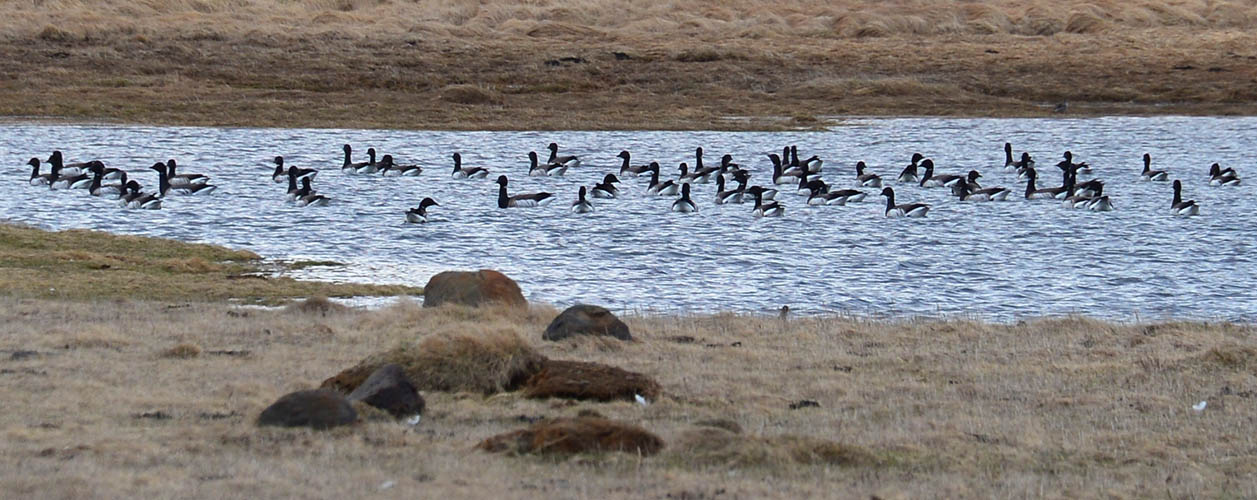
Small salt water lagoon near Maríuhöfn
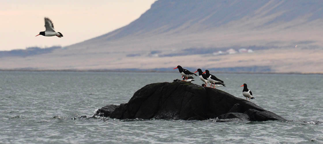
Oystercatcher on a rock in front of Maríuhöfn bay
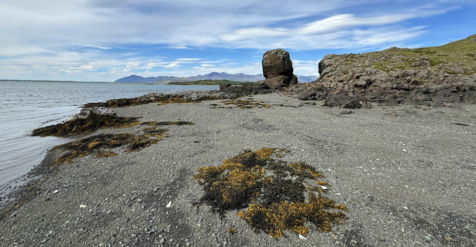
View from Maríuhöfn bay to north-west
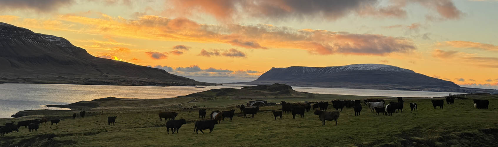
Lisa's and Doddi's happy cattle enjoy the evening atmosphere by the fjord on their outstanding beautiful pasture
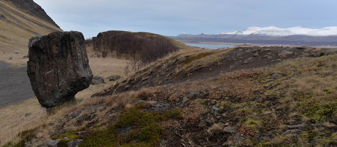
This more or less balancing 3 meters high rock is called Staupasteinn or Steðji
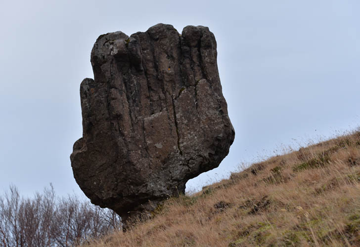
Steðji is located 500 meters from southern Hvalfjarðarvegur
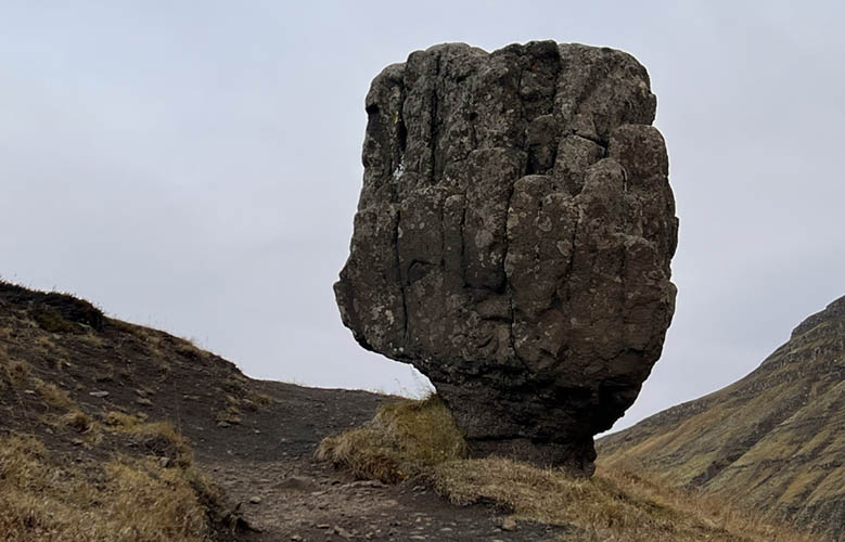
It's told that there's a hermit living inside, who's protecting the Hvalfjörður tunnel
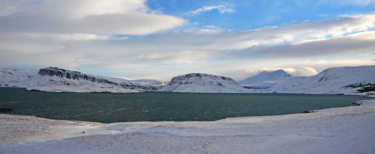
Panoramic view from Hvítanes Peninsula to fjord's end
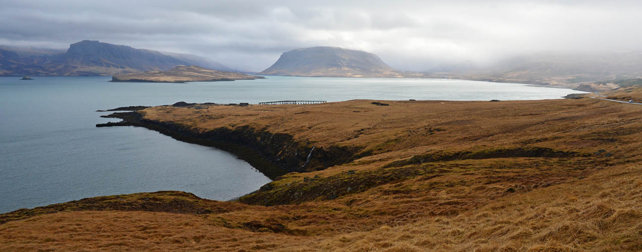
Hvítanes Peninsula view in spring

Remains of the british military base at Hvítanes on the southern shore of Hvalfjörður
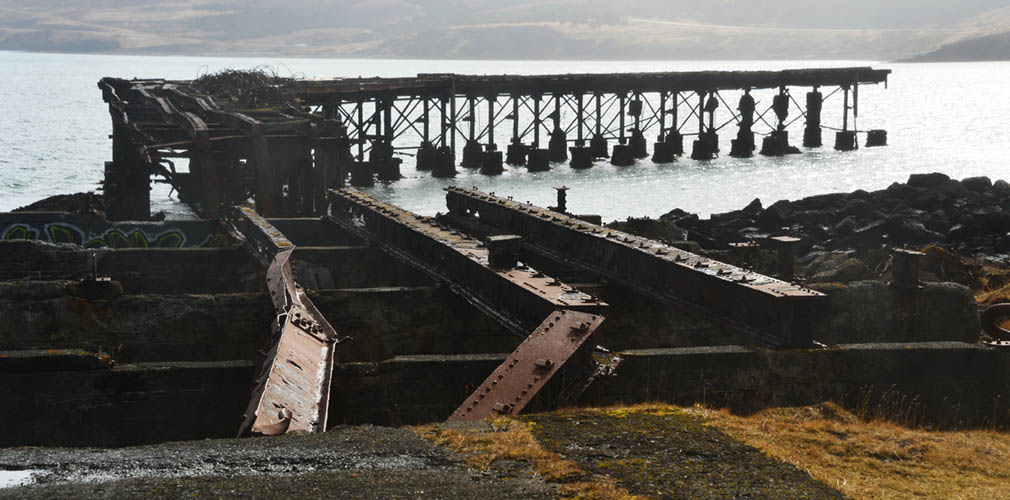
Rusty jetty from the 1940s
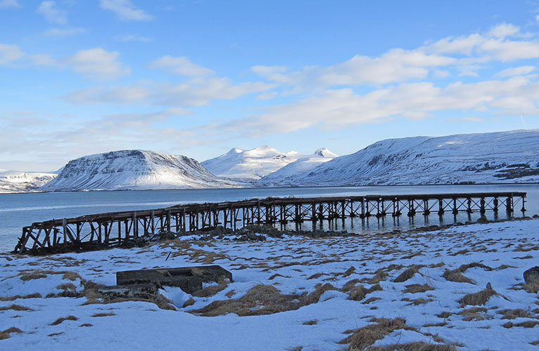
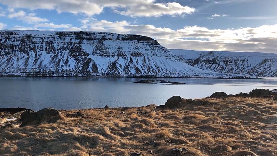
View in winter
Remains of military base buildings
View from Hvítanes Peninsula along Hvalfjarðarvegur
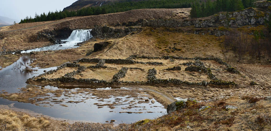
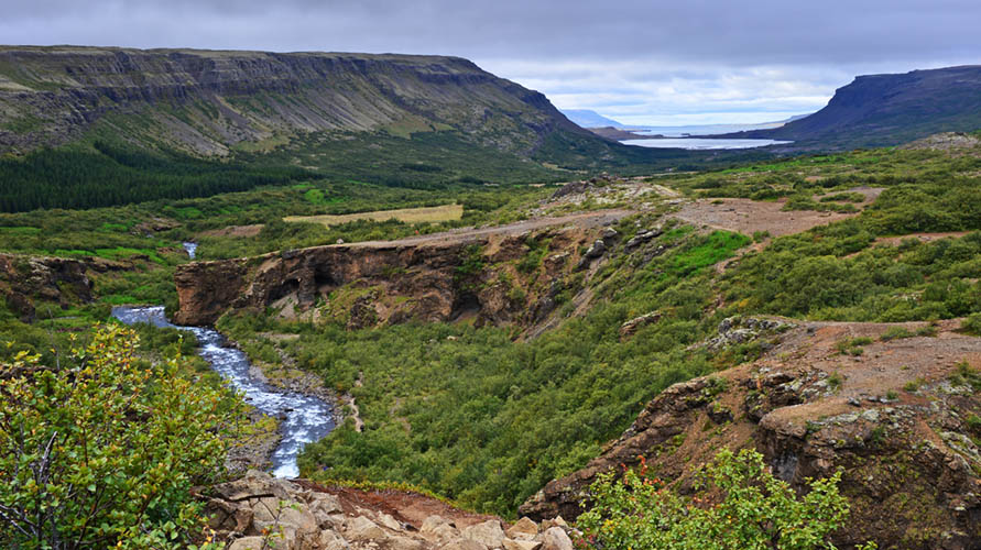
"Fossarétt" with remains of a Viking settlement
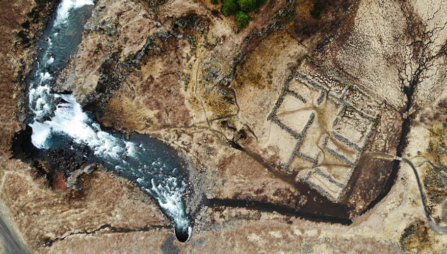
"Fossarétt" aerial view
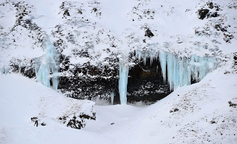
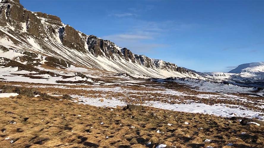
Icicles at a hill on the south shore
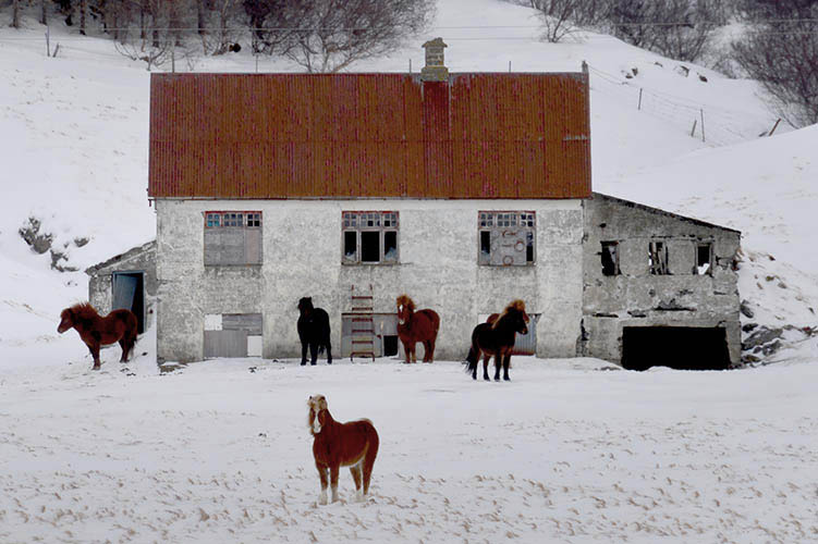
Horses in front of abandoned house at Botnsdalur
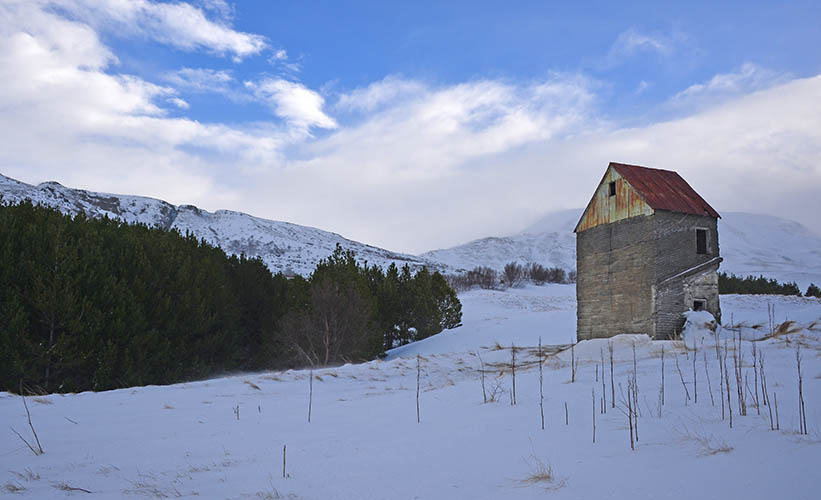
Another abandoned farm house in Botnsdalur
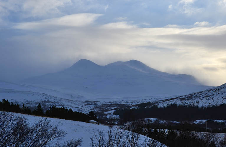
Botnssúlur (1.095 m)
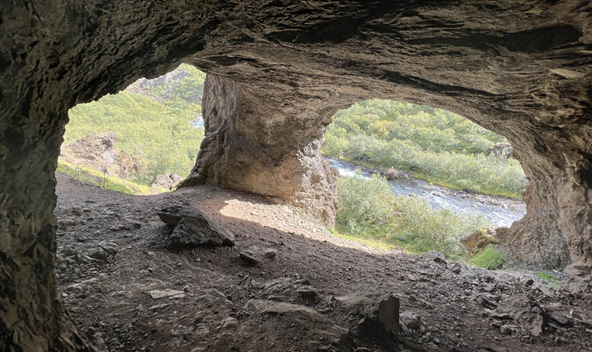
Þvottahellir on the way to Glymur Waterfall in Botnsdalur
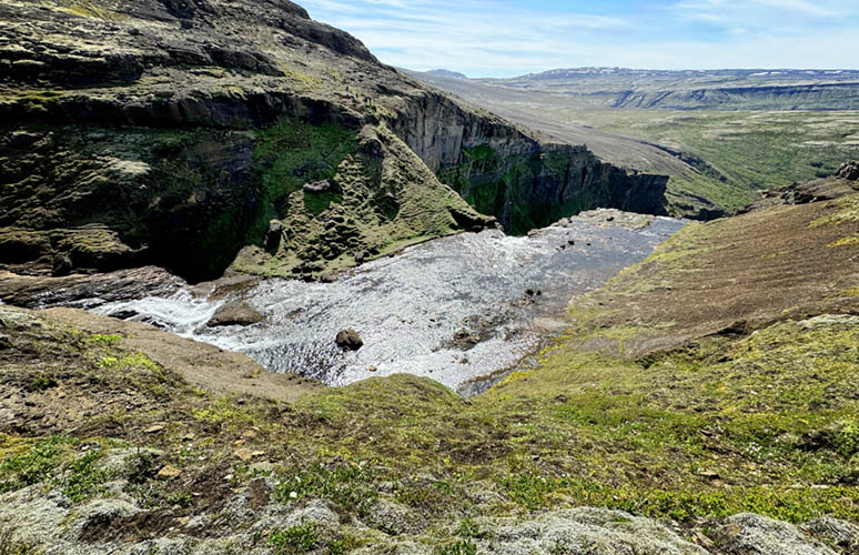
View over Botnsdalur and Hvalfjörður in the background
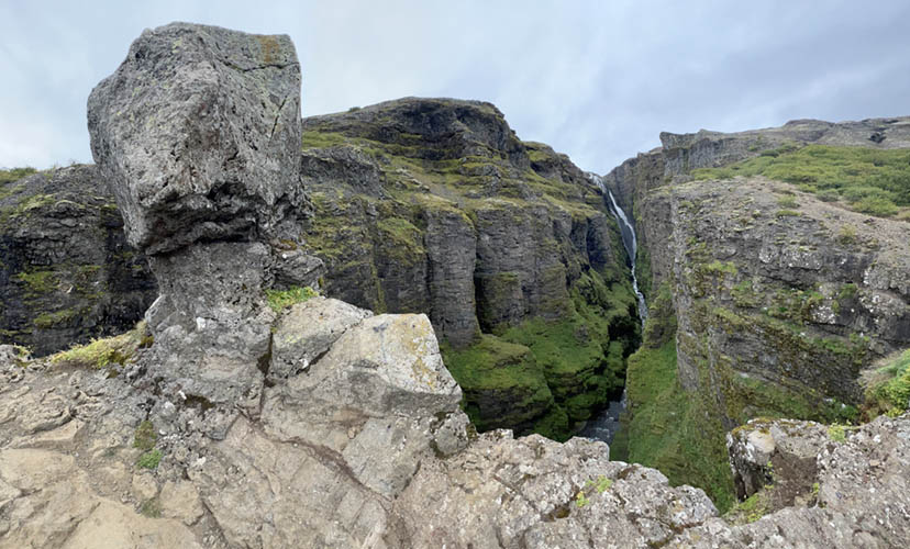
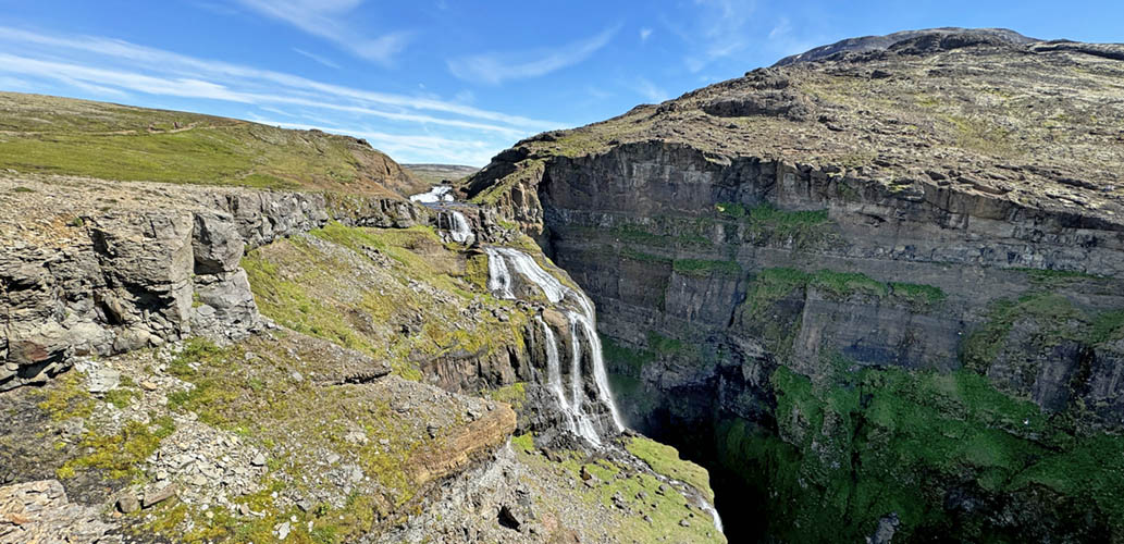
Glymur Waterfall
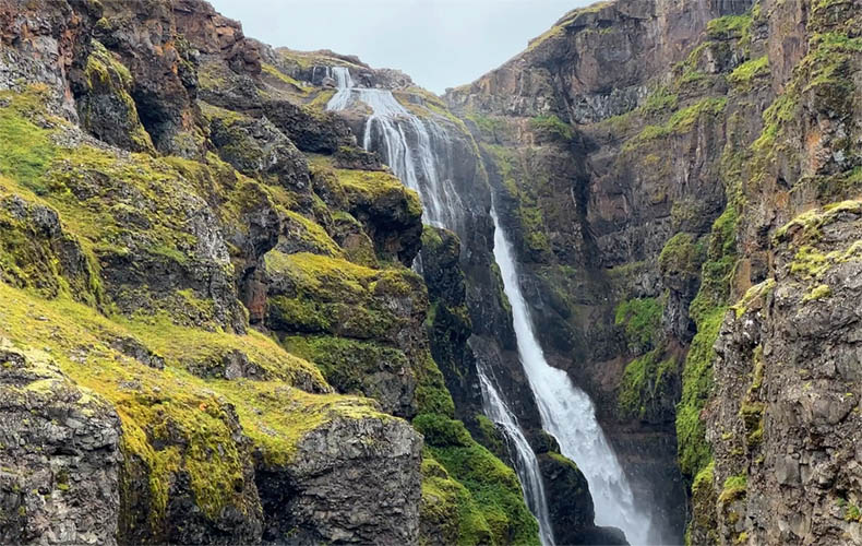
Glymur is Iceland's second highest Waterfall with 198 meters drop height
Glymur waterfall seen from the highest viewpoint on the right side
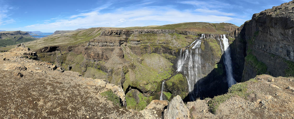
View over the upper reaches of Glymur waterfall
Plain between Glymur and Hvalvatn with Hvalfell (mountain) in the background
Top edge of Glymur waterfall
Glymur waterfall seen from the highest viewpoint on the left side again with Hvalfell in the background
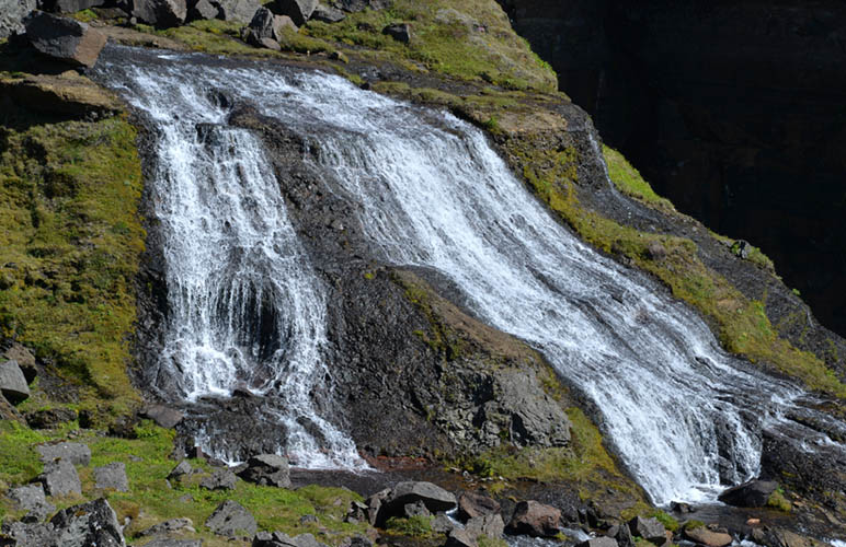
Glymur's second cascade in detail
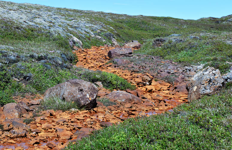
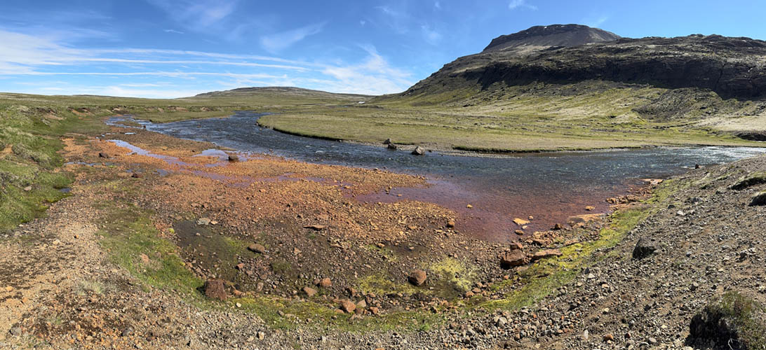
Riverbed colored red by iron oxide
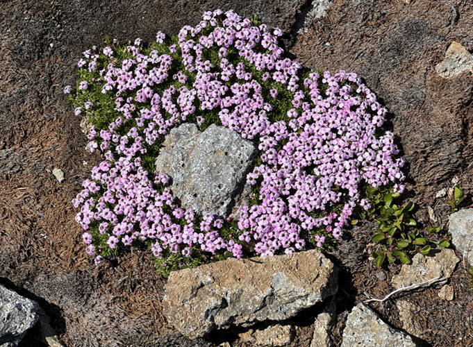
"Stemless catchfly" (Silene acaulis)
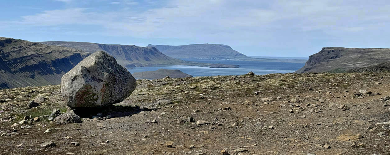
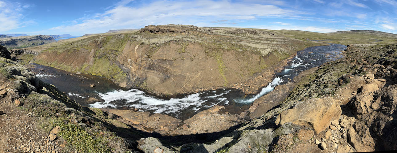
View from the hiking trail over Hvalfjarðar
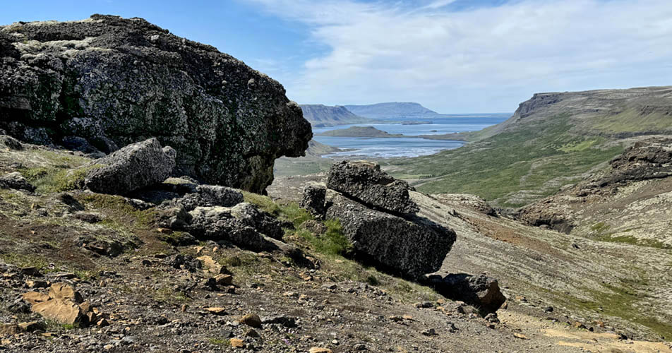
Lava formation on the way back to the starting point of the hike
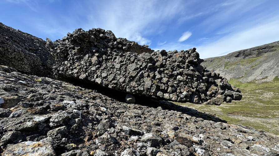
Clearly visible structure of volcanic origin
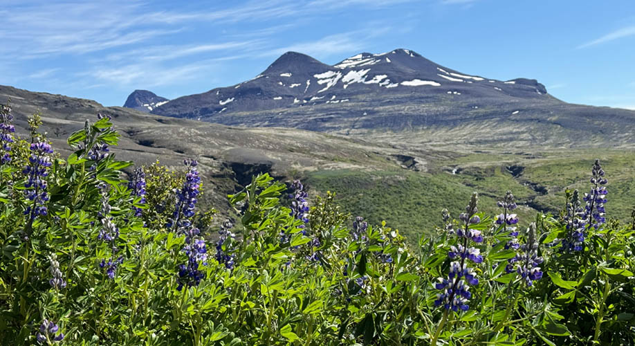
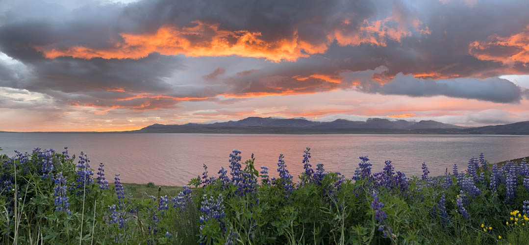
Botnssúlur (1.095 m) with arctic lupinias in the foreground
View to fjord's end from Þyrilsnes peninsula at north shore
South shore mountains seen from Þyrilsnes peninsula
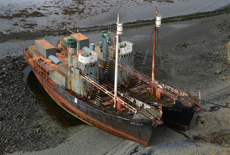
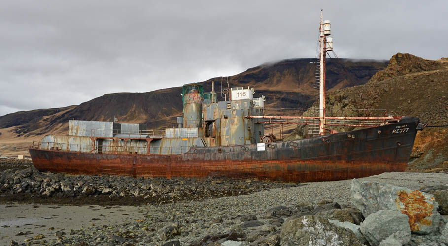
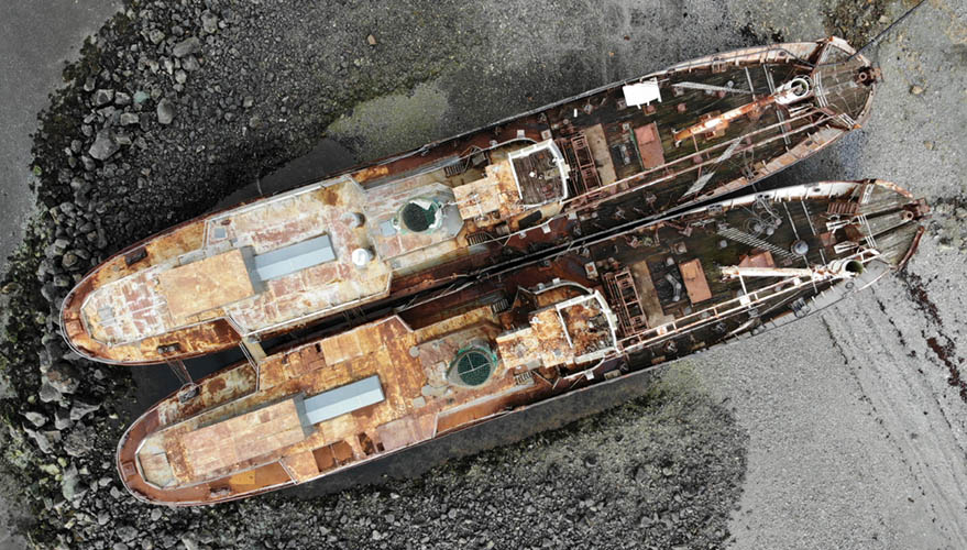
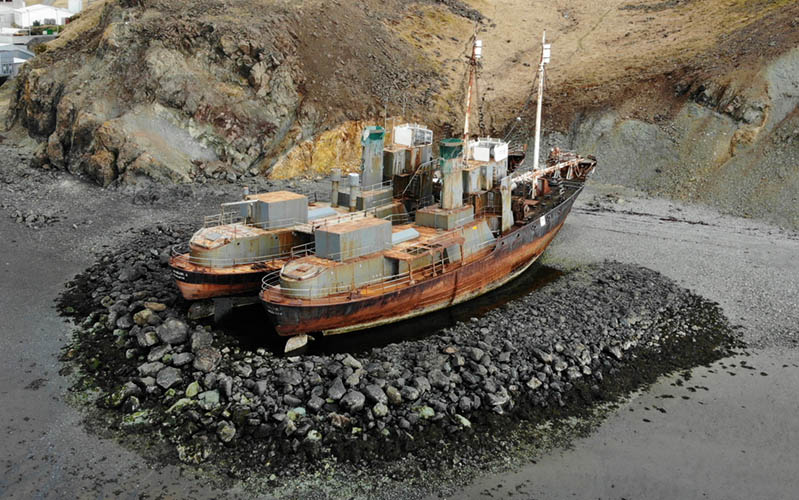
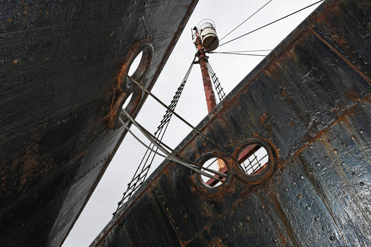
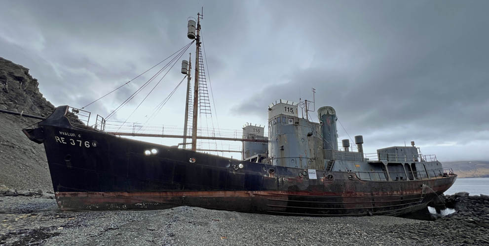
The whaling vessels "Hvalur 6 RE 376" and "Hvalur 7 RE 377" were sunk by Sea Shepherd's activists Rod Coronado and David Howitt in 1986 at Reykjavík harbour by opening the salt water cooling valves.
Their intention was to stop whaling in Iceland.
Before manipulating the ships, the activists also sabotaged main parts of the whale processing station at Hvalfjörður.
Both ships were lifted again from the harbor's ground the same year and were no longer used for whaling. They were brought sometime between 2008 and 2018 from Reykjavik to Hvalfjörður and intentionally beached.
However, the sister ships "Hvalur 8 and 9" were reactivated in 2018 and sent out for whaling again. Sea Shepherd immediately respondet with the non-violent mission "Mjölnir" for documenting whaling and processing to inform the public about it.
Though it was still allowed, there was no whaling in Iceland from 2019 to 2021. But the last remaining whaling company started again in 2022 to exhaust the remaining catch-quota.
From 2024 no new quotas are expected to be issued by the government and whaling will be officially ended in Iceland.
Sources:
Wikipedia
Deutsche Stiftung Meeresschutz (DSM)
Whale and Dolphin Conservation (WDC)
Important Notice:
Text and sources only serve as documentary background information on the history of the ships mentioned above.
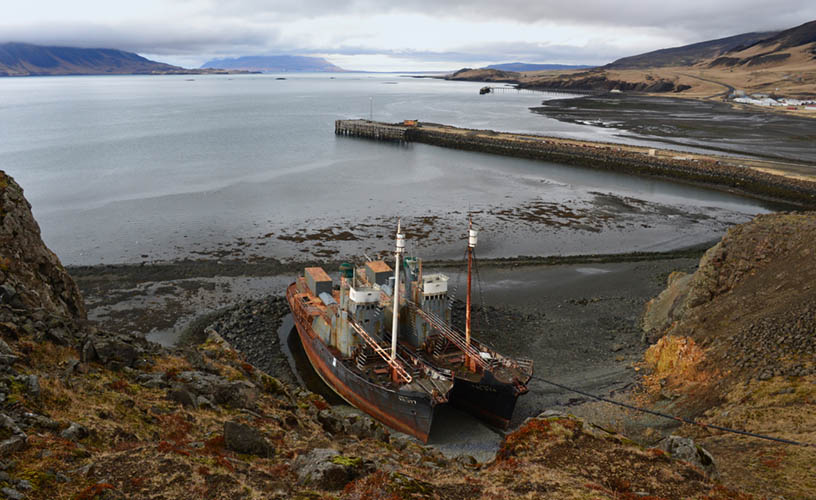
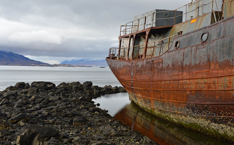
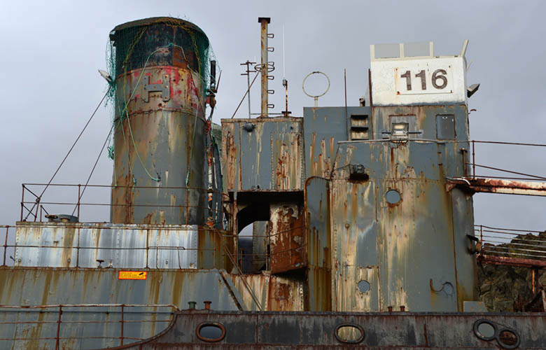
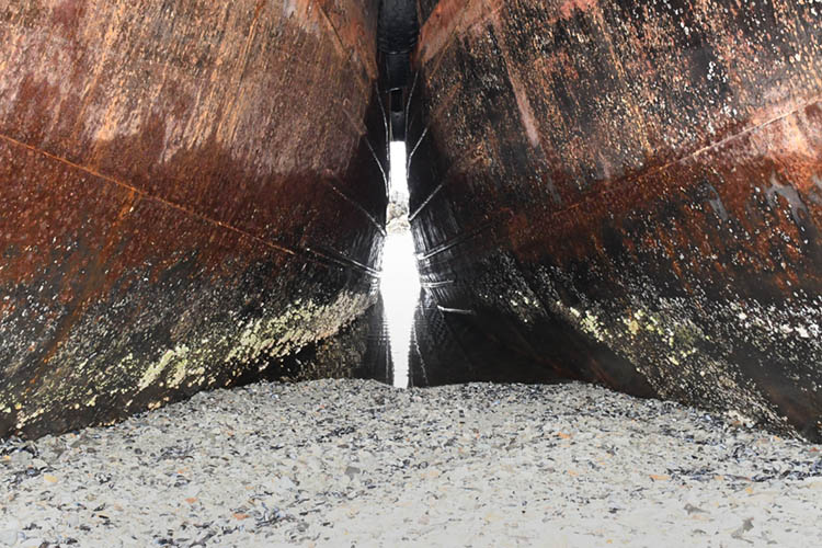
"Hvalur 6 RE 377" and "Hvalur 7 RE 377" intentionally beached at Hvalfjörður
Impressions...
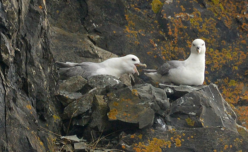
Chattering seagulls on the rocks above the wrecks
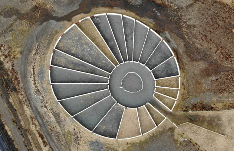
Wall system for distributing sheep after free grazing in summer (diam. approx. 65 m)
Northern Hvalfjarðarvegur with snowy mountain "Botnssúlur" (1.095 m)
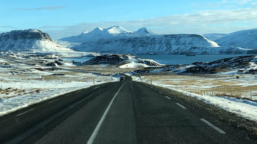
Northern Hvalfjarðarvegur with Fjord's end in winter
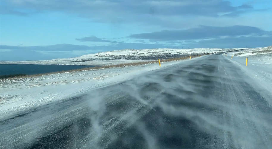
Perfect road conditions at northern Hvalfjarðarvegur
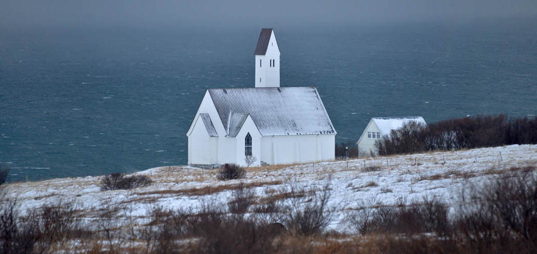
Hallgrímskirkja Saurbæ (Hvalfirði) - consecrated on July 28, 1957 - Architects: G. Samúelsson, S. Guðmundsson, E. Einarsson
View to Hvalfjörður's transition to the open sea
View over Hvalfjörður from Dragavegur in north-western direction
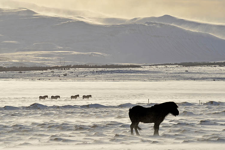
Horses near Grundartangi
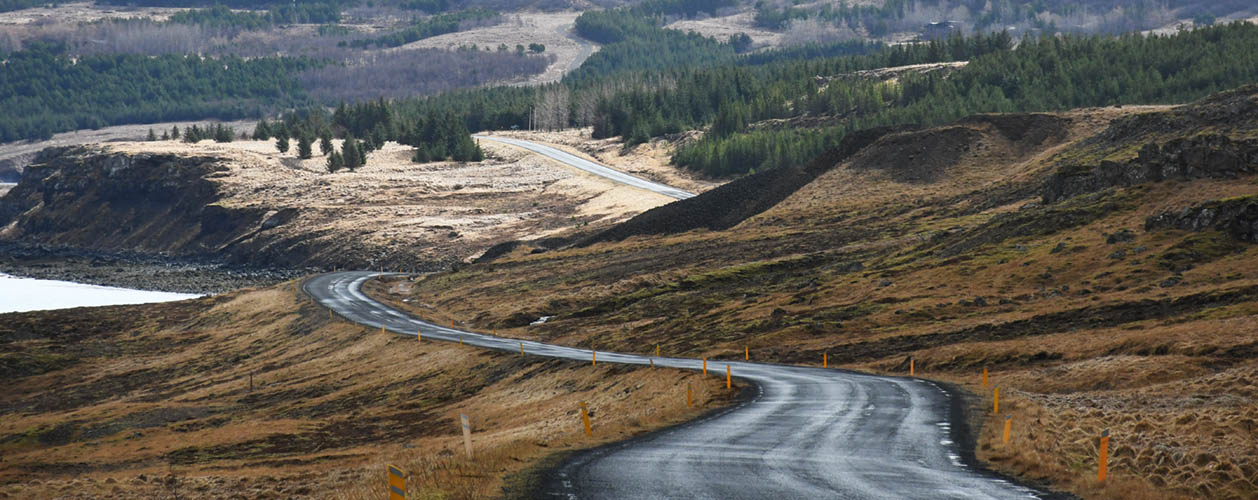
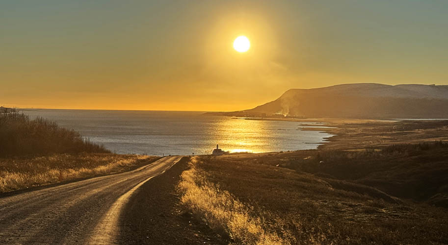
Seen from Hringvegur (Ringroad) between Borgafjörður and Hvalfjörður
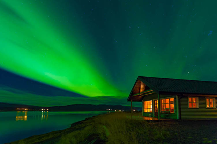
Villa Fjordblick under Aurora borealis
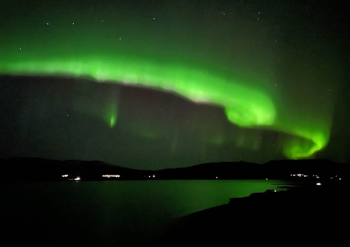
Aurora borealis over Hvalfjörður in north-eastern direction
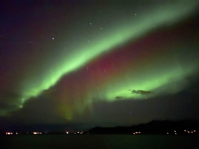
Clear, linear shapes and colors...
...change within minutes or even seconds...
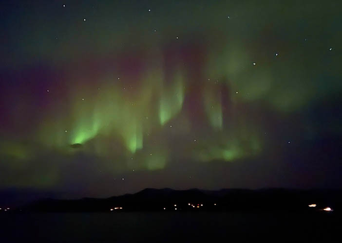
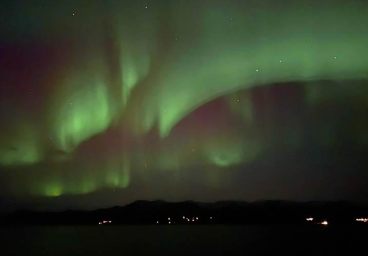
...and then dissolve
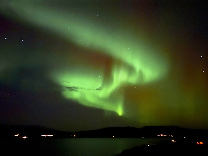
Often seen typical serpentine shape
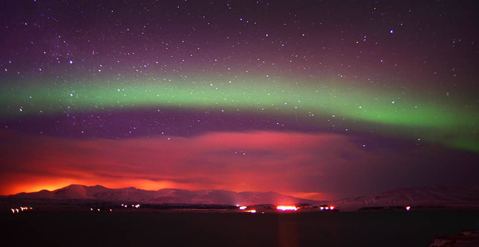
Northern lights above clouds enlightened by Borgarnes' city lights seen again from Villa Fjordblick
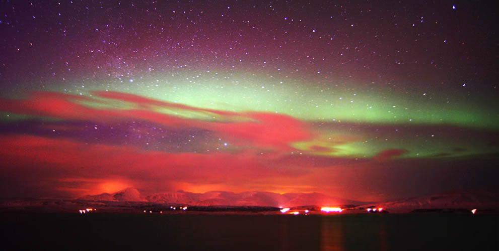
Same perspective (north west) a few minutes later
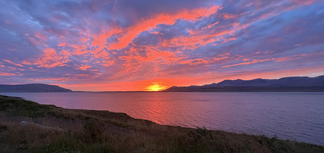
Sunset over Hvalfjörður seen from Villa Fjordblick's terrasse
At the beginning of July, the sun only hides behind the mountains for about three hours at night (00:00 to 03:00 a.m.)
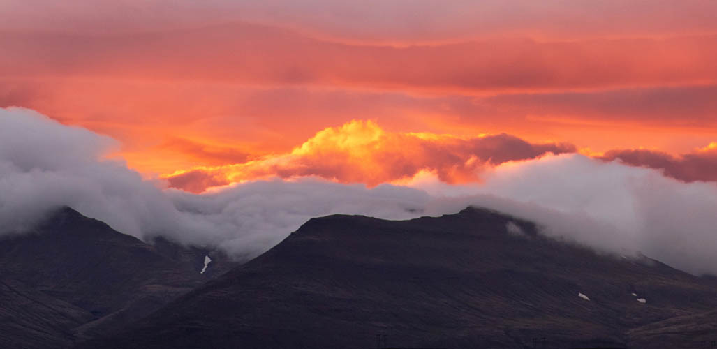
This time of the year it doesn't get completely dark
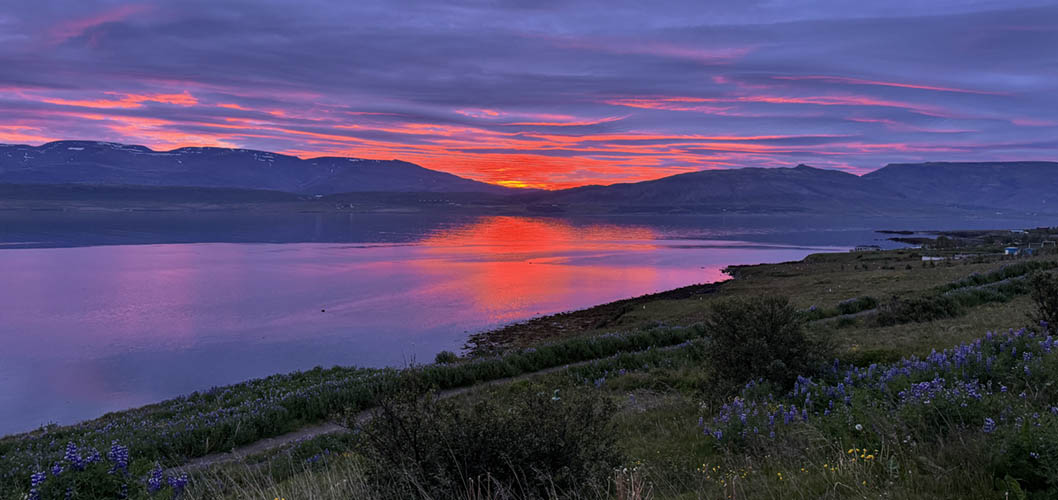
Sunrise at Hvalfjörður at 3:00 a.m. - we have to get up now as we board the plane at 6:40 a.m. - Bless bless!!!